Natalie is a McGill undergraduate student who working on a project headed by Dave Purnell to improve remote water level sensing using GNSS. She spent the summer doing field work around Montreal at La Fontaine Park and Ile St. Helene, to determine how instrument orientation impacted accuracy.
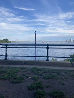
 Figure 1 : apparatus at Ile st. Helene, including a visitor also admiring the view
 Hello! After my winter semester research course I’ve been so excited to start a summer project here
with Natalya’s team. My research has consisted of working with Dave Purnell to improve instruments
measuring water level. This uses of GNSS-Reflectometry, which relies on ground receivers (the same
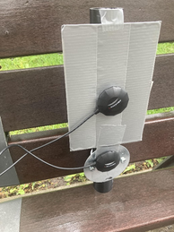
kind you might use for your car’s GPS) measuring direct signals from GNSS satellites against signals that have been reflected by some surface, like a body of water. To keep costs down but improve accuracy, multiple cheaper receivers can be placed together and used to take the same measurement, reducing unwanted error.
For me, this means a lot of field work around Montreal! Most sunny days from the past couple weeks have been spent on either Ile St. Helene or at La Fontaine Park. Here, I set up arrays of GNSS receivers and vary their orientation and separation from each other, then I measure the signal strength to decide if this has impacted accuracy.
Ile St. Helene has, in addition to the biodome and La Ronde, a series of trails across the island. On the southern tip there’s a lookout point with an unobstructed view of the St. Lawrence River, which makes it perfect for testing. Lots of groundhogs and red wing blackbirds stop by to keep me company, including one bird I was able to catch perched on a support pole.
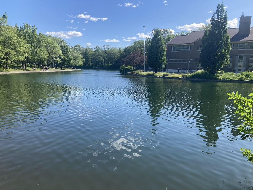
In contrast to the tranquility of Ile St. Helene, the canal in La Fontaine Park is bustling with activity. Many people may walk and stand in front of the receivers, but this has not significantly impacted measurement signal strength. I have gotten the chance to answer questions from people walking by, which has been a great opportunity to practice explaining my project and discuss the applications. Don’t worry, there are still creatures to keep me company here too, in the form of duck families who live on the pond.
Natalie


 RSS Feed